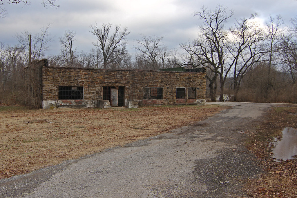
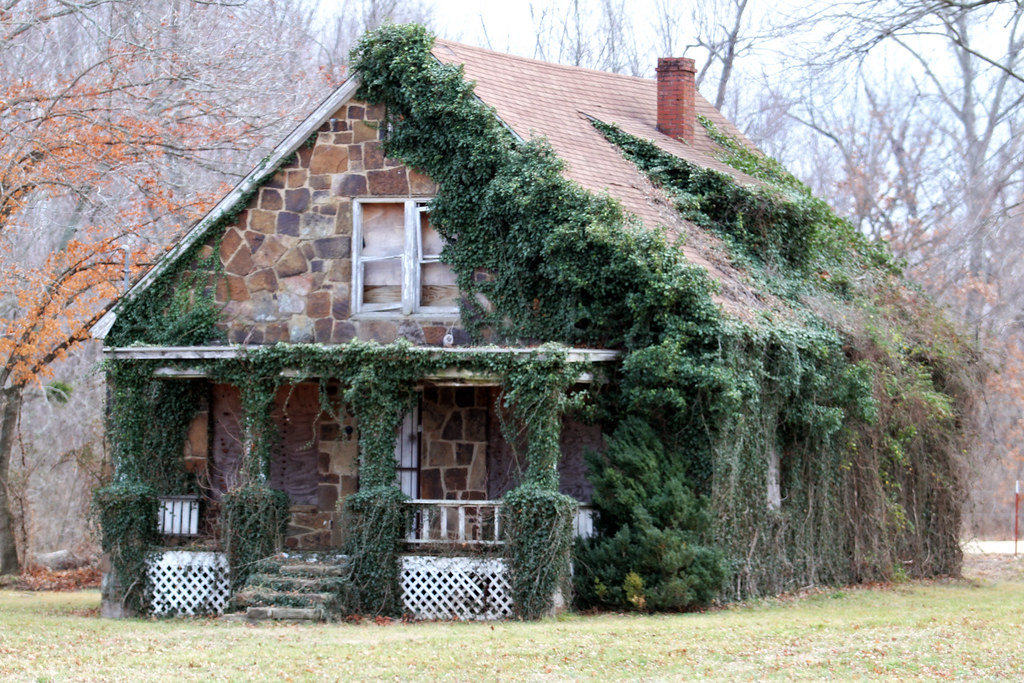
The old pump station house and caretaker’s cottage are located on Pump Station Road in southeast Fayetteville.
Photos by Todd Gill, Flyer staff
We ran a story last week about the cleanup of a former electroplating site on Pump Station Road in southeast Fayetteville.
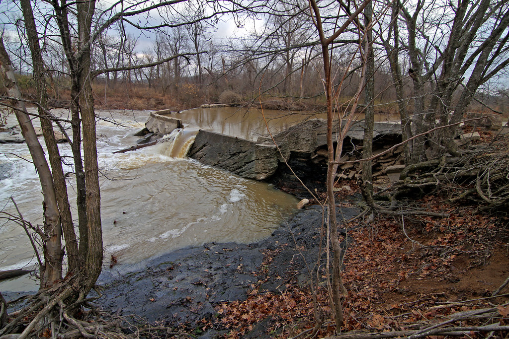
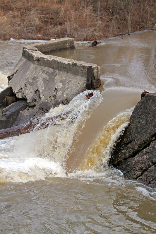
The property, located directly adjacent to the Pump Station Dam on the West Fork of the White River, will eventually become public parkland.
Since the story was posted, we’ve received several inquiries about the condition of the pump station house and nearby caretaker’s cottage.
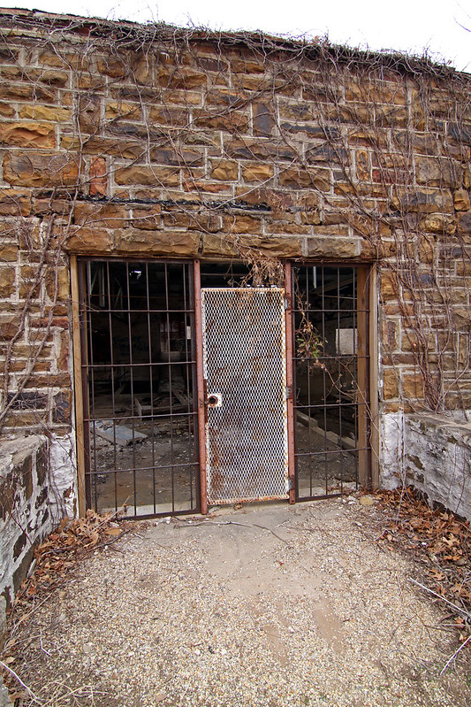
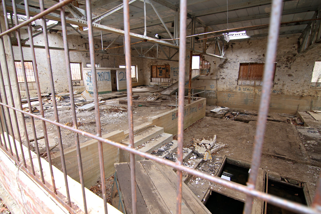
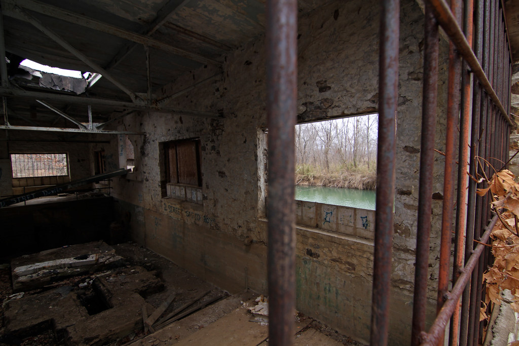
The buildings are still standing, but the doors are boarded up and the windows have bars on them. Those responsible for the graffiti in the pump station house likely entered from a rear window using a makeshift ladder propped up against the outside wall.
A sign out front offers a description of the property:

A sign offers information about the area.
Photo: Todd Gill
This area is known as the Pump Station Dam because of its function as an early drinking water reservoir for the City of Fayetteville. The dam was constructed in 1889 by a group of local businessmen and sold to the City of Fayetteville in 1907. The native stone Pump Station house and caretaker’s cottage were built in 1925. Water was pumped from here to Mt. Sequoyah, where it was filtered and stored before being gravity-fed to Fayetteville homes and businesses.
This small West Fork reservoir served as Fayetteville’s first municipal drinking water source, until the severe drought of 1907 caused the City to look for supplemental reservoirs on Clear Creek @ Lake Fayetteville and on the White River @ Lake Sequoyah, respectively. Northwest Arkansas’ current drinking water supply comes from the Beaver Lake Reservoir, which was created by an impoundment of the White River in 1969.
A watershed is simply defined as the geographical area within which all creeks, springs, and streams drain into a larger body of water. You are standing in the West Fork watershed right now!
The West Fork watershed originates in Winslow and passes through the communities of Brentwood, West Fork and Greenland before joining with the White River just below the spillway at Lake Sequoyah. From there, the combined rivers flow for 13 miles to the upper reaches of Beaver Reservoir, our drinking water supply.
Pump station house


Caretaker’s cottage
Pump station dam


Map
View Pump Station Dam area in a larger map