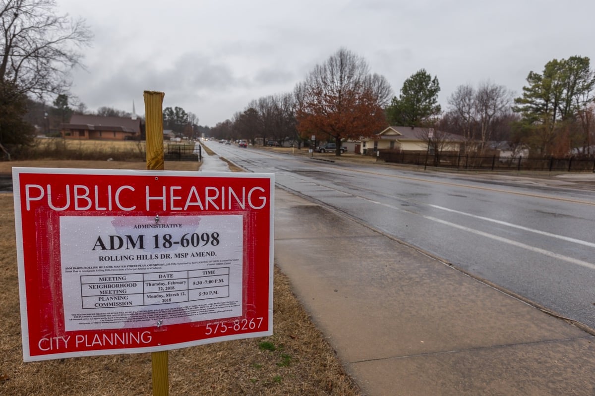
A sign notifying residents of possible changes to Rolling Hills Drive stands near the intersection of Old Missouri Road.
Photo: Todd Gill, Fayetteville Flyer
A controversial rezoning of wooded land near Rolling Hills Drive was approved by the Fayetteville City Council on Tuesday.
The council voted 5-3 to rezone 22.6 acres east of Rolling Hills and Old Missouri Road behind Butterfield Trail Elementary School. The property was rezoned from RSF-4, Residential Single Family, 4 units per acre to NC, Neighborhood Conservation.
The new zoning district is still residential, but the minimum lot size is now 4,000 square feet instead of 8,000 square feet. By right, the Neighborhood Conservation district only allows single-family homes, but a separate conditional use permit could be applied for to allow 2, 3, or 4-family dwellings. The previous RSF-4 district only allowed 2-family homes with a conditional use permit.
Council members Sarah Bunch, Mark Kinion and Justin Tennant voted against the proposal.
To read details of the discussion and vote, see our City Council recap story.
In other business, the council unanimously approved a change to a 20-year-old master plan that outlines the longterm vision for Rolling Hills Drive.
The change downgraded the Rolling Hills Drive corridor from Principal Arterial to Collector status and shifted the Master Street Plan’s alignment of the corridor to connect along Oak Bailey Drive instead of Crossover Road.
The change ensures that the existing Rolling Hills Drive will remain a two-lane roadway, despite its previous classification, which called for an eventual expansion to a four-lane boulevard.
To read more about the change, see our story about the Planning Commission’s recommendation, and our City Council recap from Tuesday night.