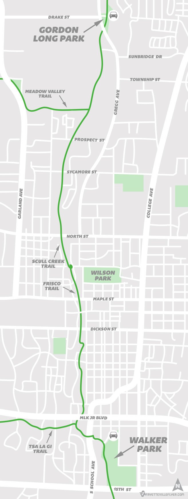
If you want to explore the Razorback Greenway, but you don’t live near the trail system, there are several places to park and ride in Fayetteville.
One of the easiest options is the 4-mile stretch between Gordon Long Park and Walker Park. You can begin at either location and take a break once you arrive at the opposite park before making the journey back to where you started. There are plenty of parking spaces and areas to relax or rest at each park.
The Razorback Greenway is comprised of many trails across the region. In this route, you’ll travel along Scull Creek Trail which turns into Frisco Trail near Wilson Park.
See the map below the photos for a more detailed look at the route.
Parking Information
Gordon Long Park is on the east side of North Gregg Avenue at the intersection of Drake Street. The park includes restrooms, benches and a playground. Ride the trail south (see video) to Walker Park.
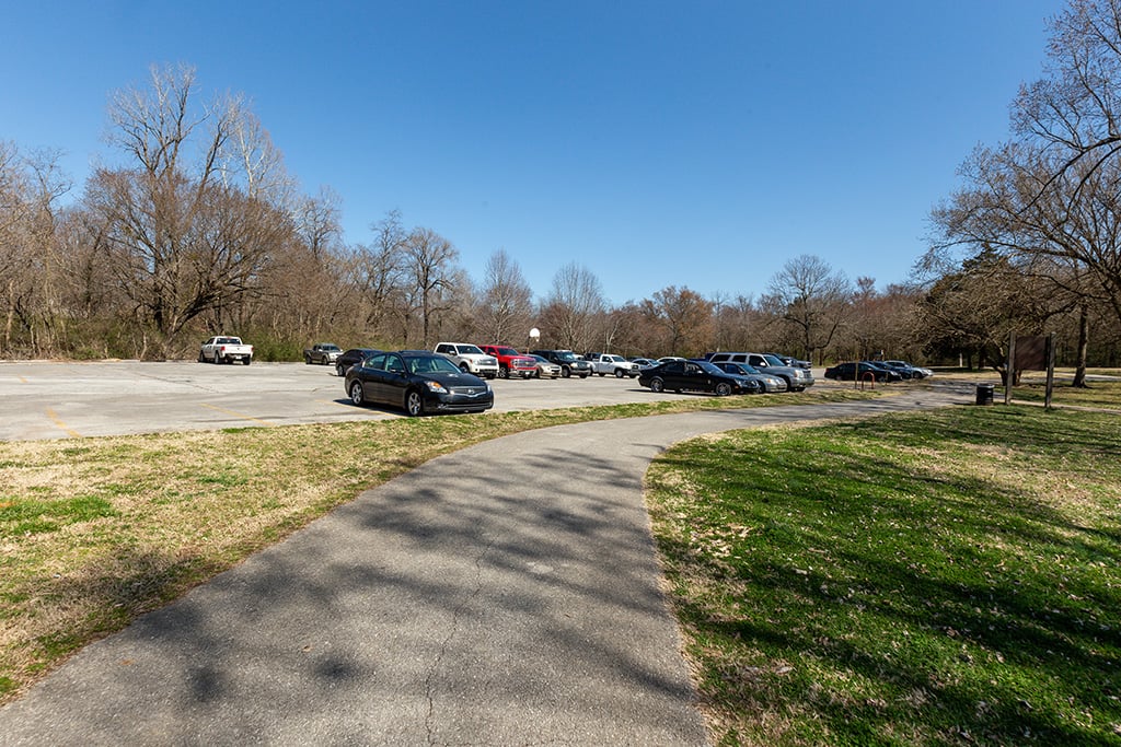
Walker Park is on the north side of 15th Street in south Fayetteville. The trail enters the north side of the park by the splash pad and skate park, and includes a direct path to the north parking lot on South Block Avenue.
Photos – Gordon Long Park to Walker Park

Gordon Long Park is right beside the traffic light at North Gregg Avenue and Drake Street.

The 6.6-acre park includes restrooms, a playground, swings and a picnic area.

The Gordon Long Park playground is to the left in this photo, and Gregg Avenue is up on the right.

The trail passes under Gregg Avenue, but be careful to stay in your lane since it’s a blind curve.

After the tunnel, you’ll come to a spur that leads back to Gregg Avenue near Sunbridge Drive.

This long stretch runs along the University of Arkansas cross country course.

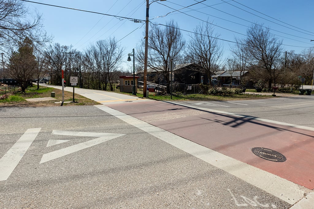
This is the intersection at Meadow Valley Trail, which heads west through Agri Park and past the fairgrounds to Porter Road.

This is the intersection at Poplar Street. Fossil Cove Brewing is to the left at Birch Avenue.

After Poplar Street, you’ll reach a spur leading to Ash Street and several trailside businesses like Nomads Trailside.

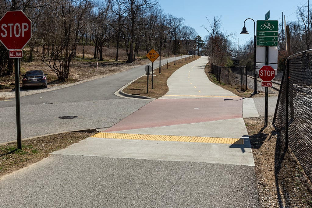
The next intersection is Sycamore Street. There’s a sensor that detects trail users and activates a flashing light for motorists.

The next intersection is North Street. Stop and push the button to wait for a green light specifically for trail users.

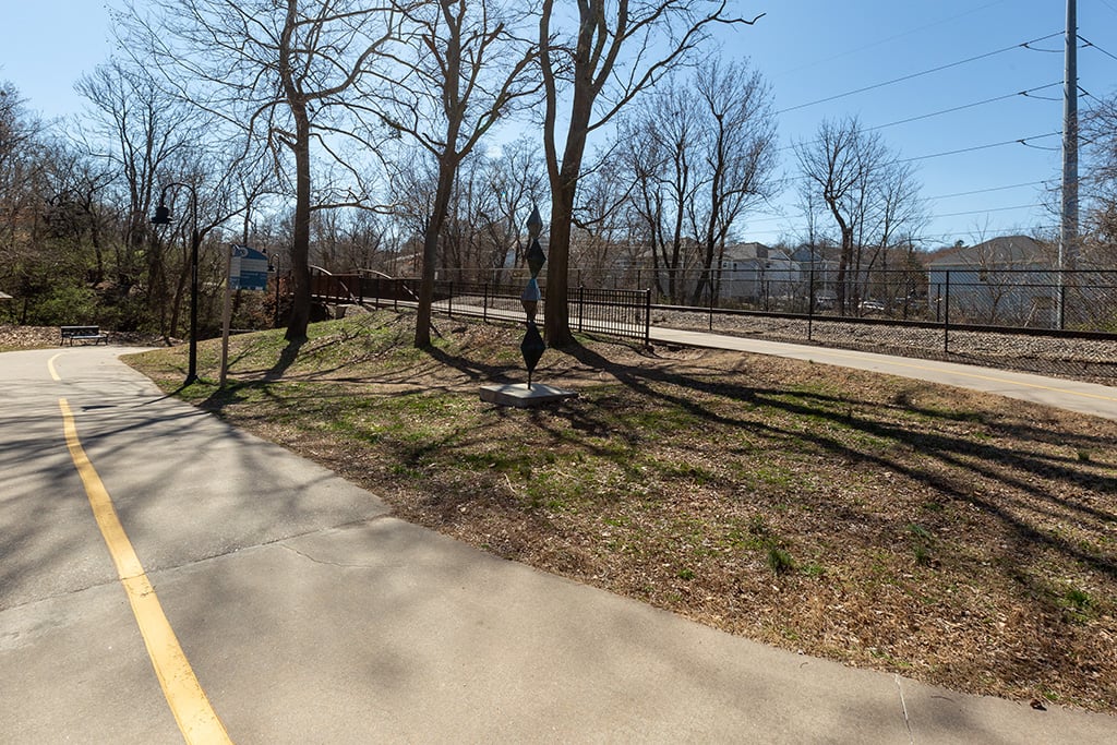
Just past North Street is the Marion Orton Recycling Center and this 20-foot-tall iron and steel tree sculpture from Eureka Springs blacksmith artist John Stalling, with “bark” made from aluminum cans and branches that frame a recycling symbol.
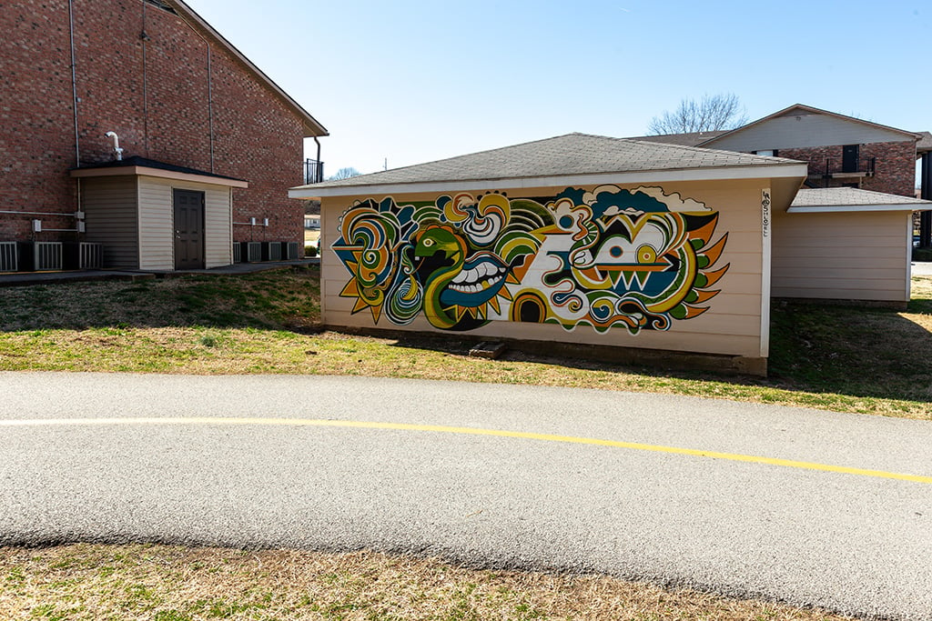
Mural just south of North Street.
Another mural just south of North Street.

The trail passes under the railroad tracks near Wilson Park.
After the railroad pass, the trail circles back south and becomes Frisco Trail. You can head east on Prospect Street to get to Wilson Park.
The trail crosses Frisco Avenue and heads uphill towards Maple Street. This is the only notable elevation gain on this stretch.

The next intersection is Maple Street. The University of Arkansas is to the right.
The trail passes under the historic Lafayette Street bridge as it heads downhill towards Dickson Street.
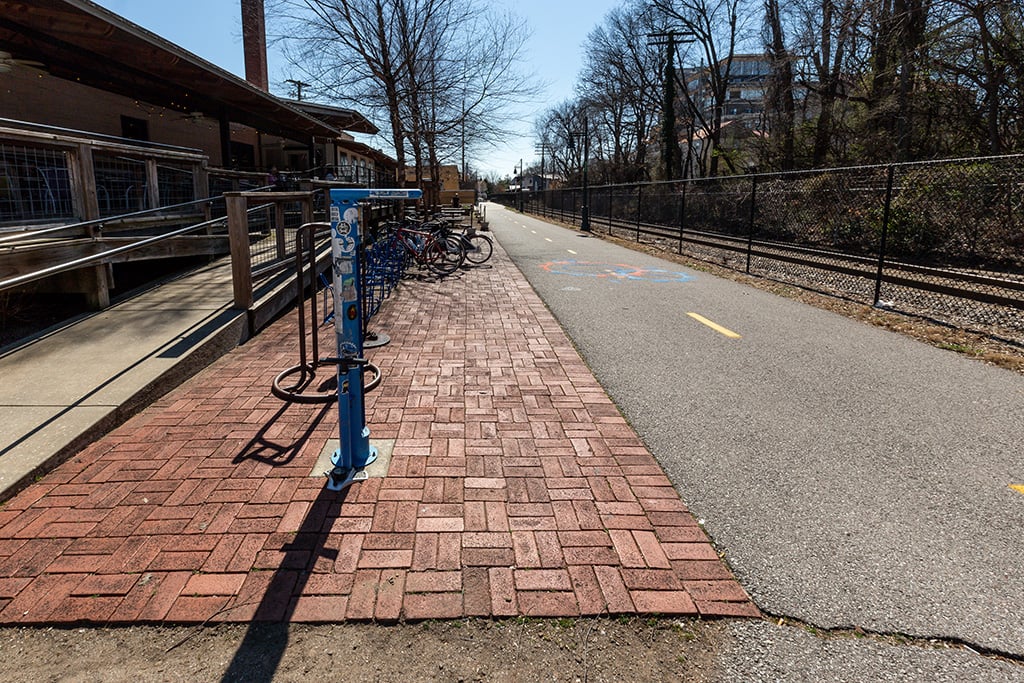
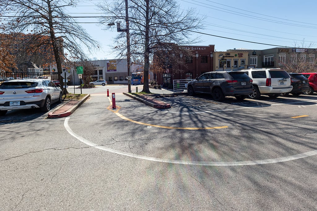
Next up are the depot buildings, including Arsaga’s at the Depot, Rendezvous Hookah Lounge and Chipotle.
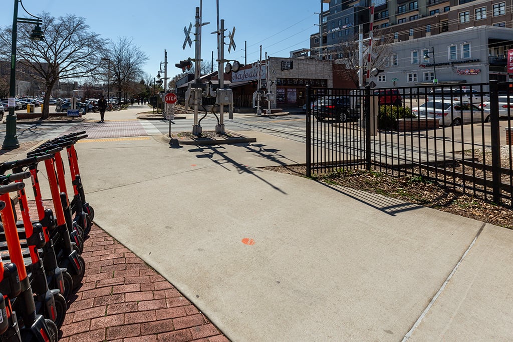
The trail crosses Dickson Street between George’s Majestic Lounge and the Walton Arts Center parking lot.

Look out for vehicles when riding through the WAC parking lot.
Also watch for motorists through here.
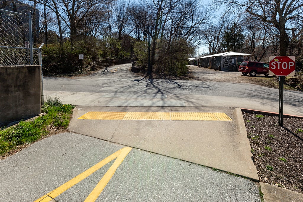
The next intersection is at Meadow Street by the trailside quonset hut businesses.
The next intersection is at Center Street.

Two artworks are located just past the crossing at Center Street, including the Hoover monument.

Across from the Hoover monument is a mural by Fayetteville artist Jason Jones, painted on the west side of the David W. McKee Architects studio.
Just past the mural is a trail spur leading up to the Fayetteville Public Library. This short spur is very steep.

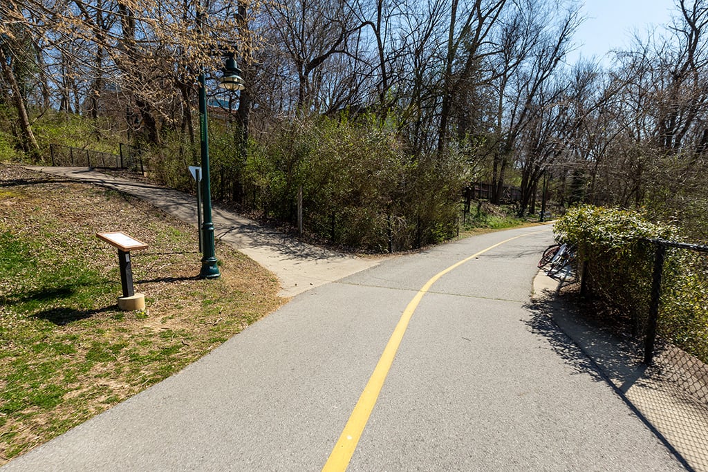
The trail leads through the Fay Jones Woods.
The next intersection is Prairie Street. To the left is Prairie Street Bar and Mamaka Bowls, and to the right is Prairie Street Live.
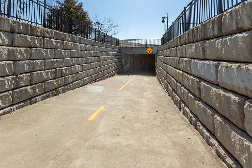
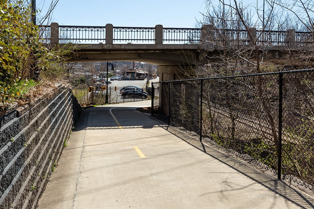
The trail passes under Martin Luther King Jr. Boulevard. Warning: There’s a blind curve here, too.

Inside the tunnel.

Exiting the tunnel by the former Farmers Cooperative property.

This is the intersection of Tsa La Gi Trail which heads west towards Razorback Road.

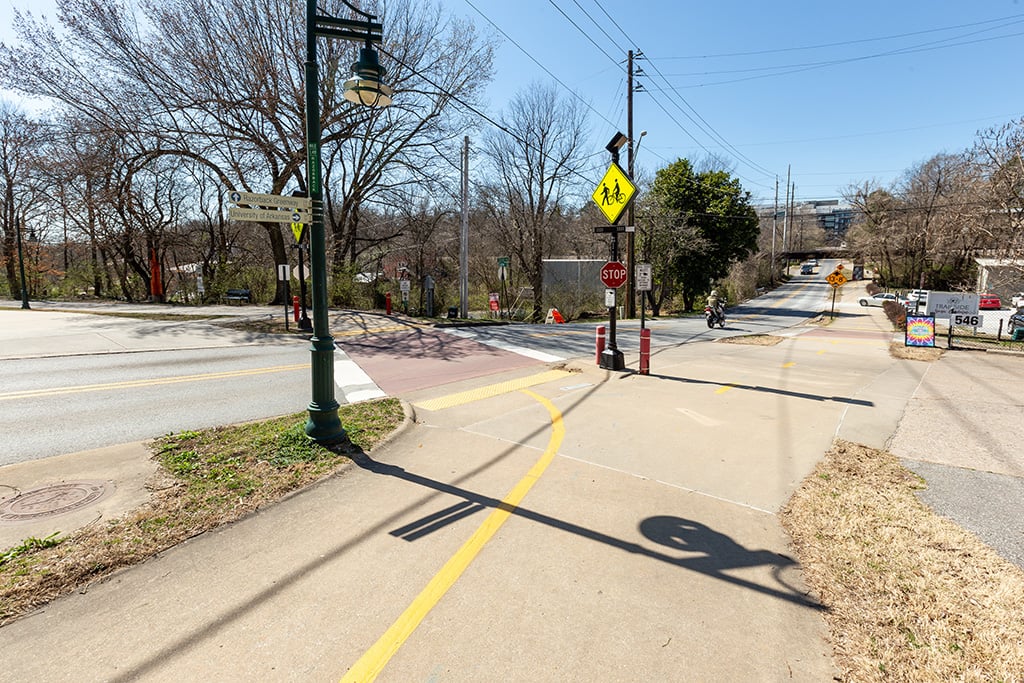
The next intersection is South School Avenue. Push the button and wait for the signal.

Cross the bridge over Spout Springs Branch and into Walker Park.
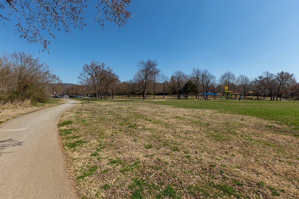
Turn left after the bridge towards the north parking lot.
You made it!
Map