With city officials set to celebrate the completion of Niokaska Creek Trail this week, we figured it was time to grab some photos of the new trail.
The project is considered a major milestone for the city’s longterm trail plans, as officials have estimated that 4,000 more residents are now within a quarter mile of the trail system.
The new, 3-mile trail connects Gulley Park to the Razorback Greenway via Mud Creek Trail near Old Missouri Road.
From Gulley Park, the trail travels northeast alongside Niokaska Creek towards Crossover Road. From there, it leads under Old Wire Road at the intersection of Crossover, and continues north with the creek through Sweetbriar Park before heading west on a path on the north side of Sweetbriar Drive to connect with Mud Creek Trail at Old Missouri Road about a half mile north of Butterfield Trail Elementary.
See a map of the new trail below the photos:
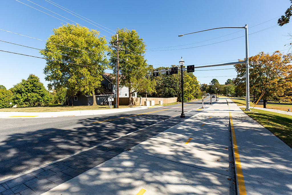
Start at the Old Wire Cycle Track near Stanton Avenue
Approaching Gulley Park
Gulley Park Trail entrance
Gulley Park Trail
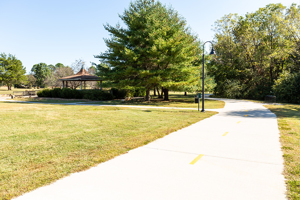
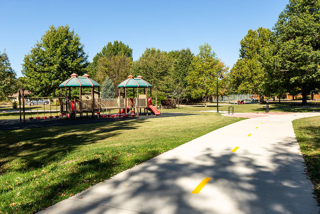
Gulley Park Gazebo
Across the creek

Leaving the park
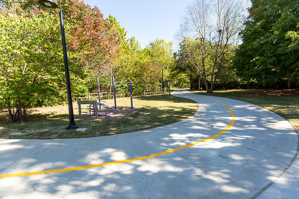
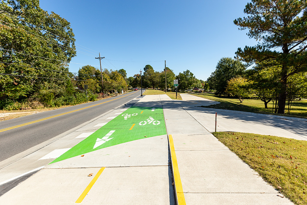
Updated path toward Azalea Terrace

Azalea Terrace crossing

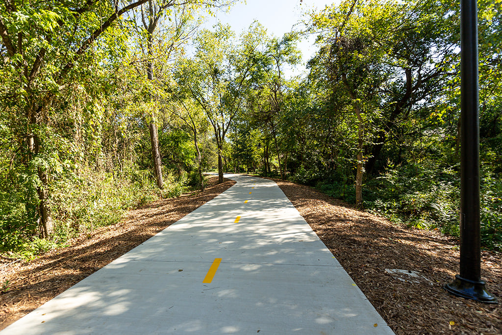
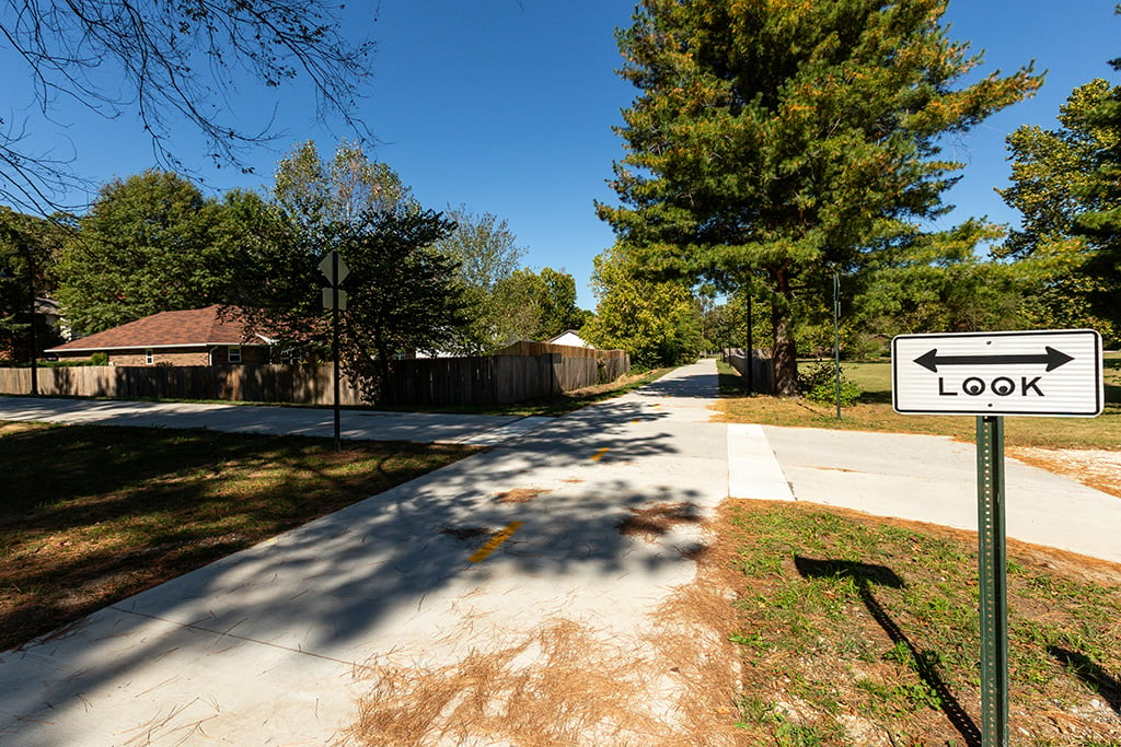
Headed toward Crossover Road
Crossover Road
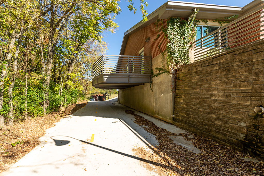
Fire Station No. 5
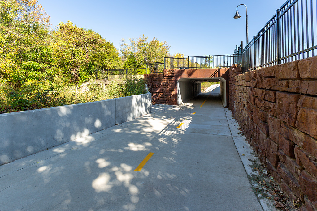
Tunnel Under Old Wire Road
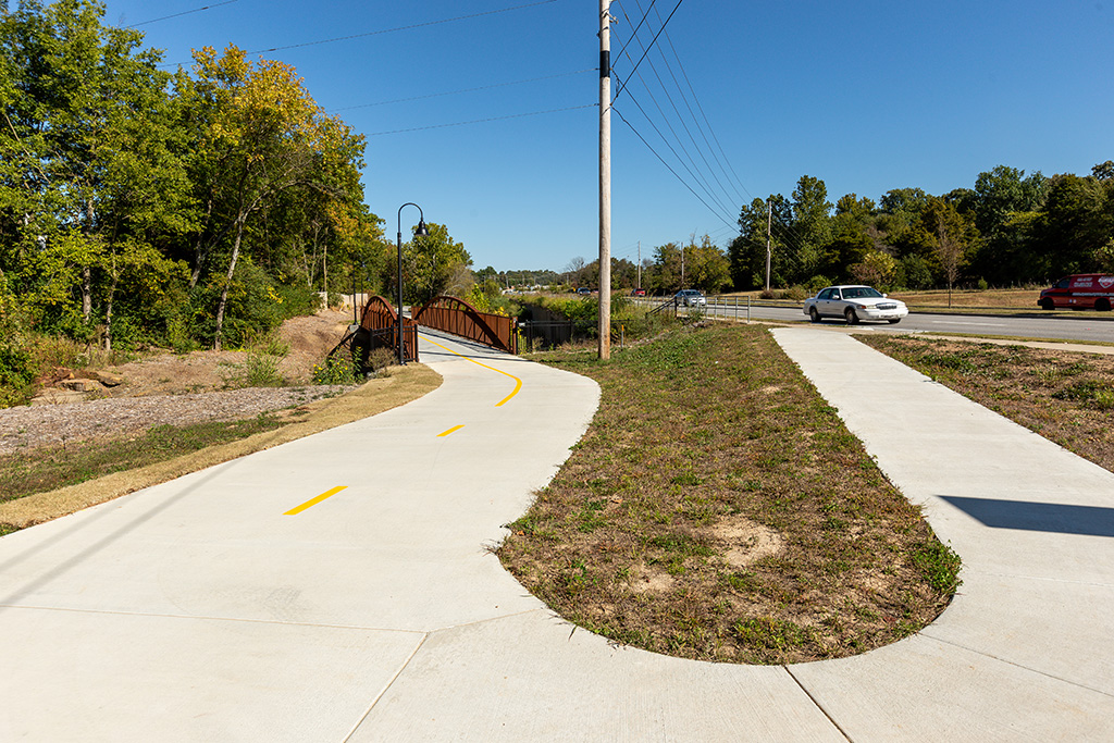
Approaching the bridge
View of the creek from the bridge

Painted rock wall

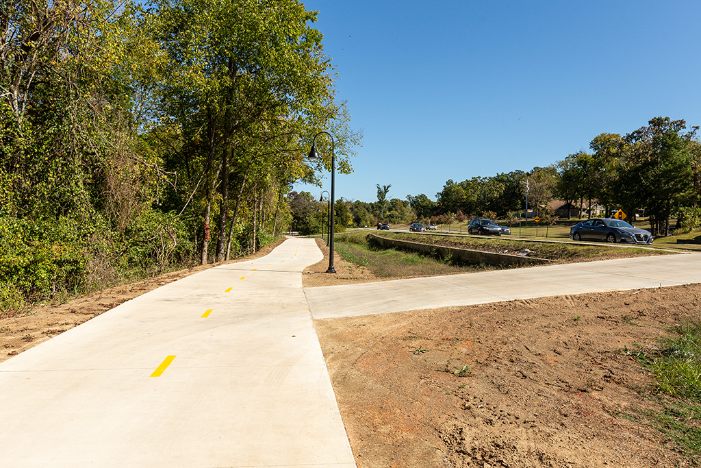
Headed toward Warwick Drive
Warwick Drive spur
Sweetbriar Park
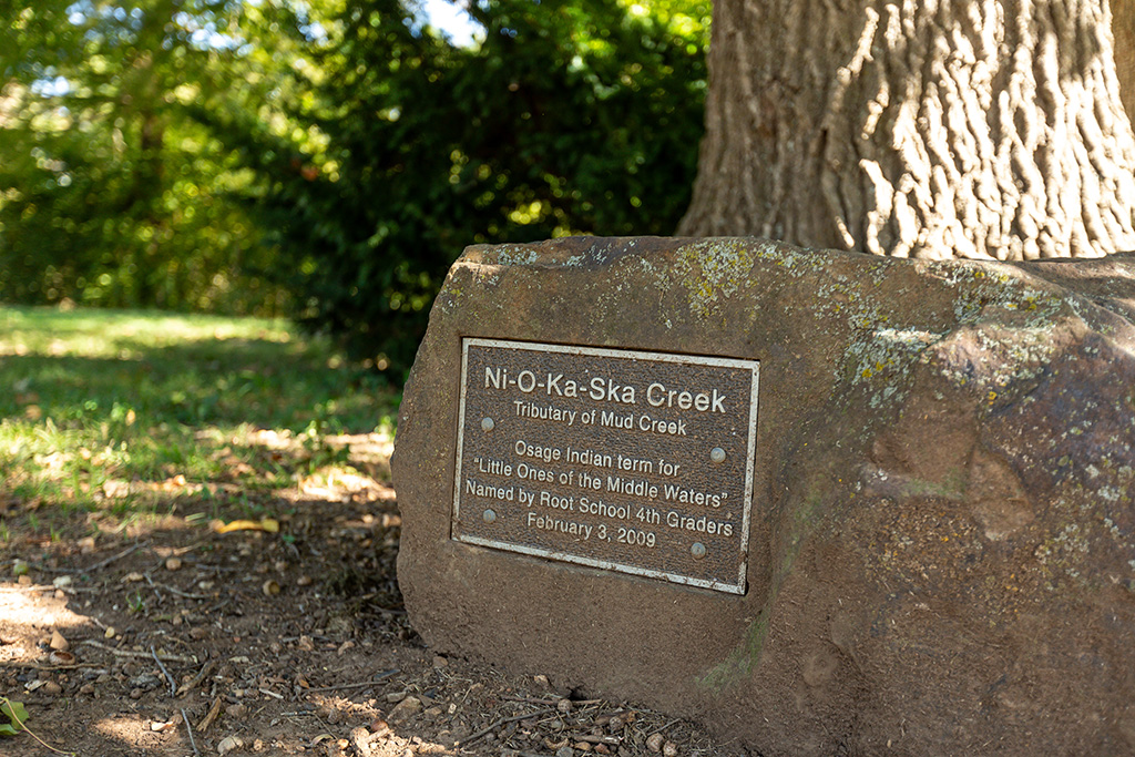
Plaque at Sweetbriar Park
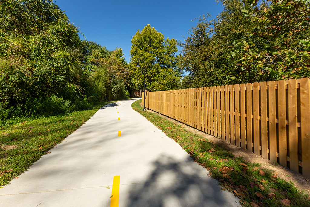
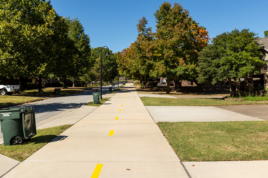
Sweetbriar Drive
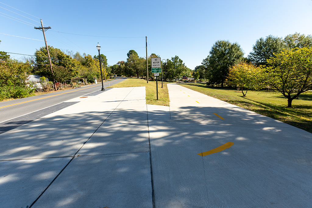
Approaching Old Missouri Road

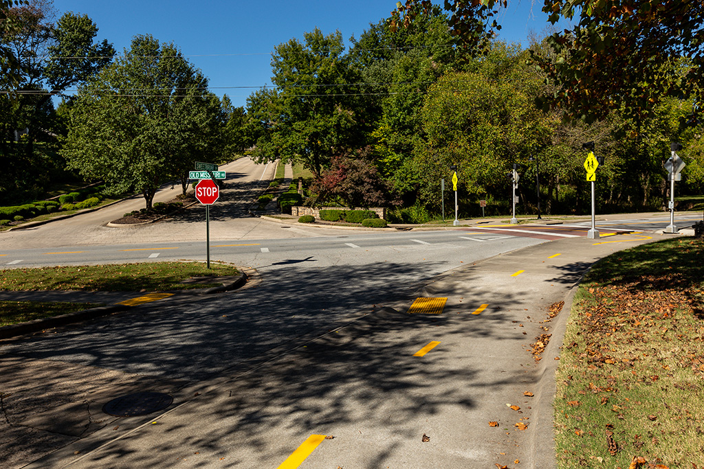
Old Missouri Road
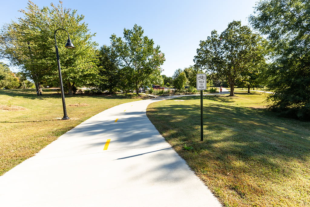
Old Missouri crossing (trail becomes Mud Creek Trail)

Map

Map: Todd Gill