
Photos: Todd Gill, Fayetteville Flyer
City officials recently celebrated the completion of the Clabber Creek Trail extension, so we headed out to grab some photos and make a map.
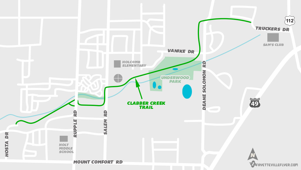
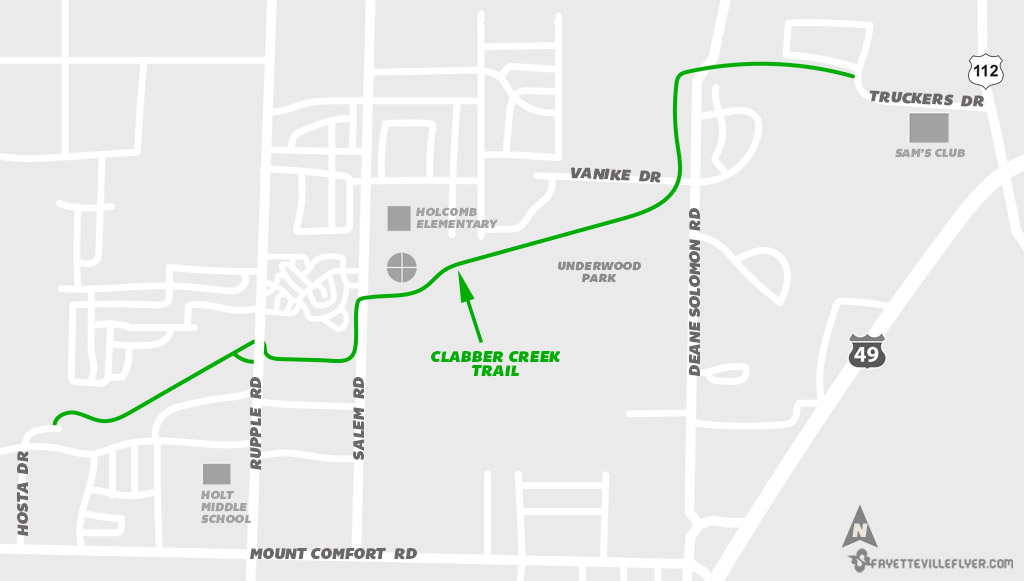
The project added 1.4 miles of pathway, to make the entire stretch of Clabber Creek Trail about 3 miles long.
It’s the second extension to the 15-year-old trail that originally traversed along Clabber Creek for 0.75 miles from Hosta Drive to Rupple Road. A new trail segment was completed in 2017 along the creek nature corridor across Salem Road to the Gary Hampton Complex and Holcomb Elementary School.
The new extension picks up by the softball complex and heads east through the new Underwood Park, then runs north along the west side of Dean Solomon Road before turning back east to end at Truckers Drive.
The photo tour starts at the westernmost portion of the trail at Hosta Drive, and follows Clabber Creek Trail to Truckers Drive.
See a map of the trail below, along with photos:
Map
Hosta Drive
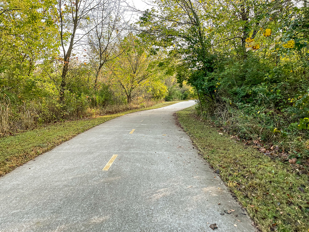
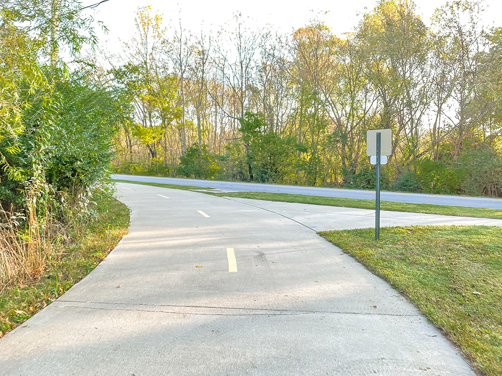
Approaching Rupple Road
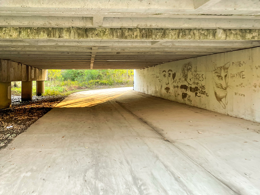
Rupple Road underpass
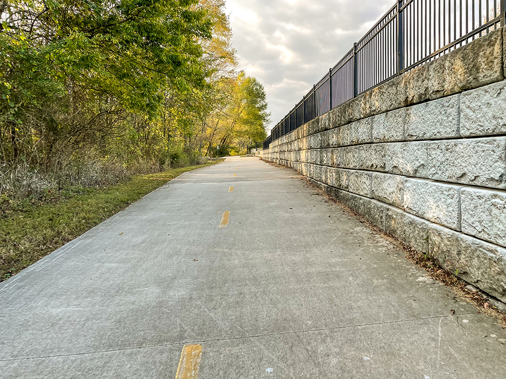
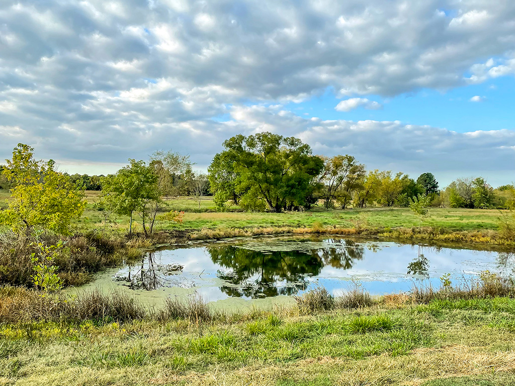
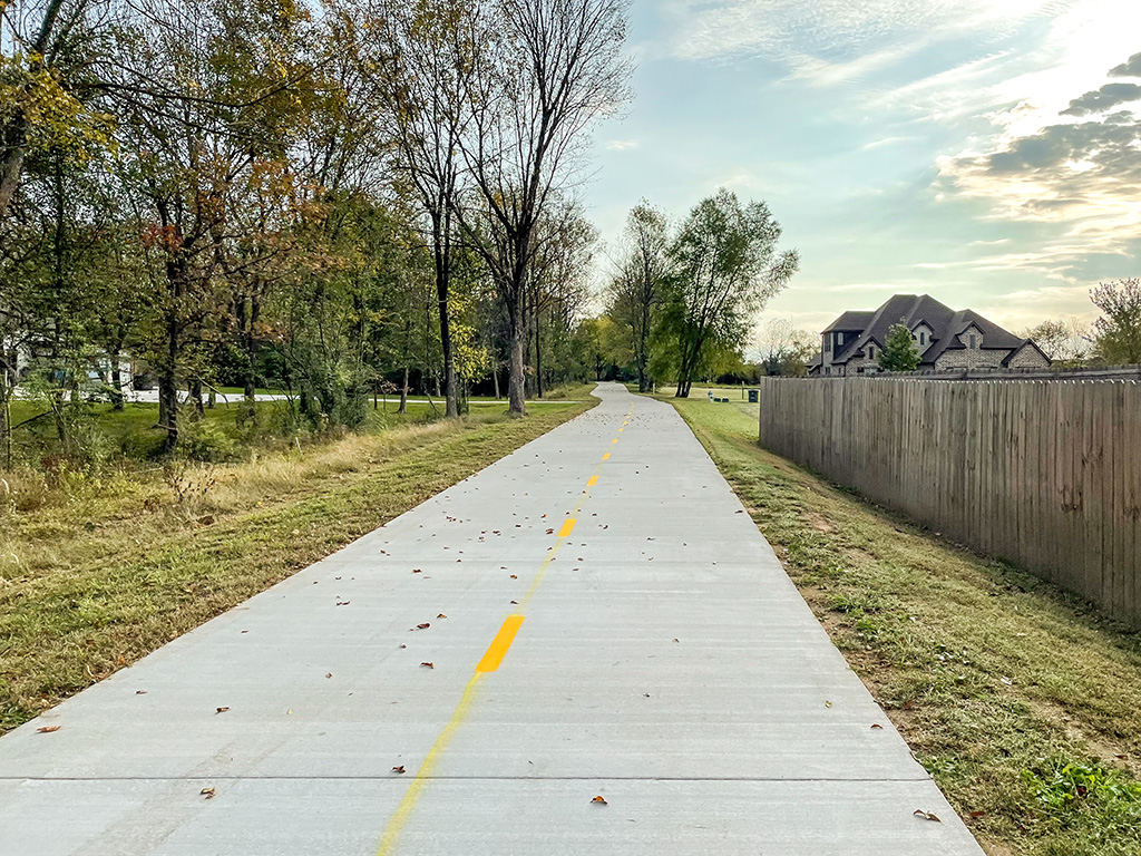
Creek nature corridor
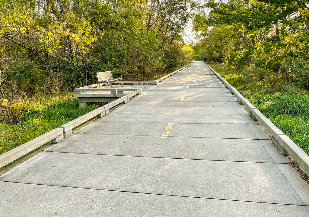
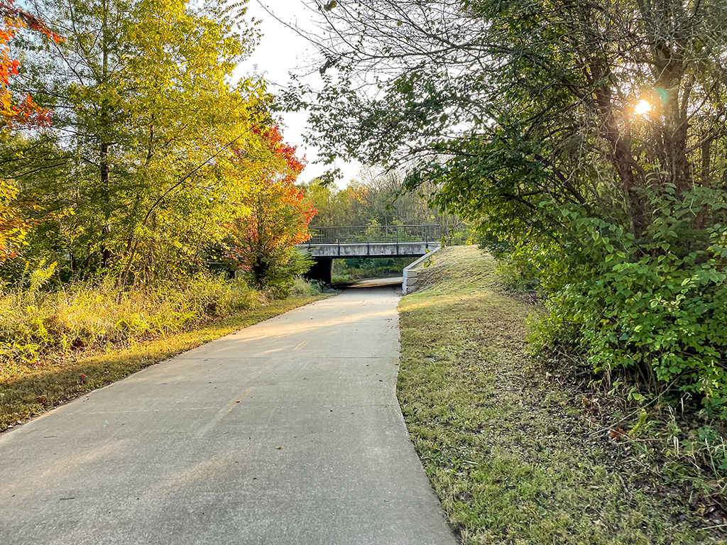
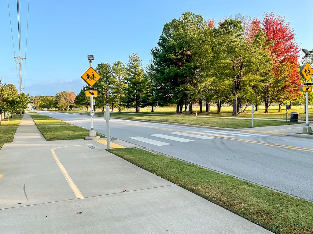
Approaching Salem Road

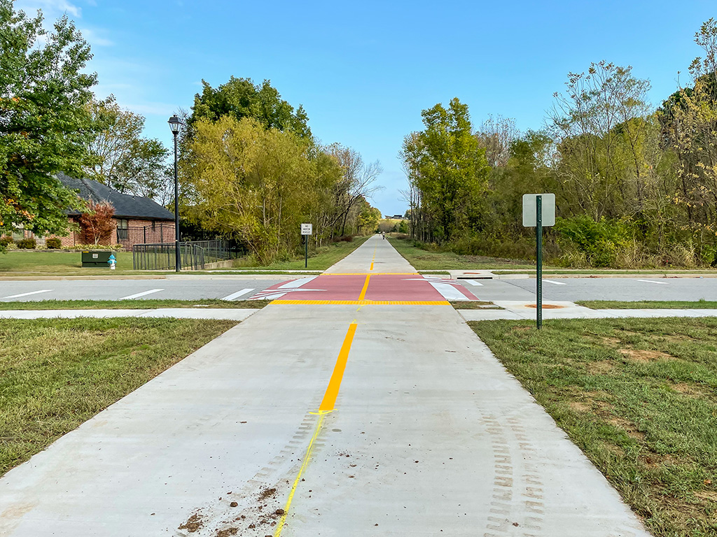
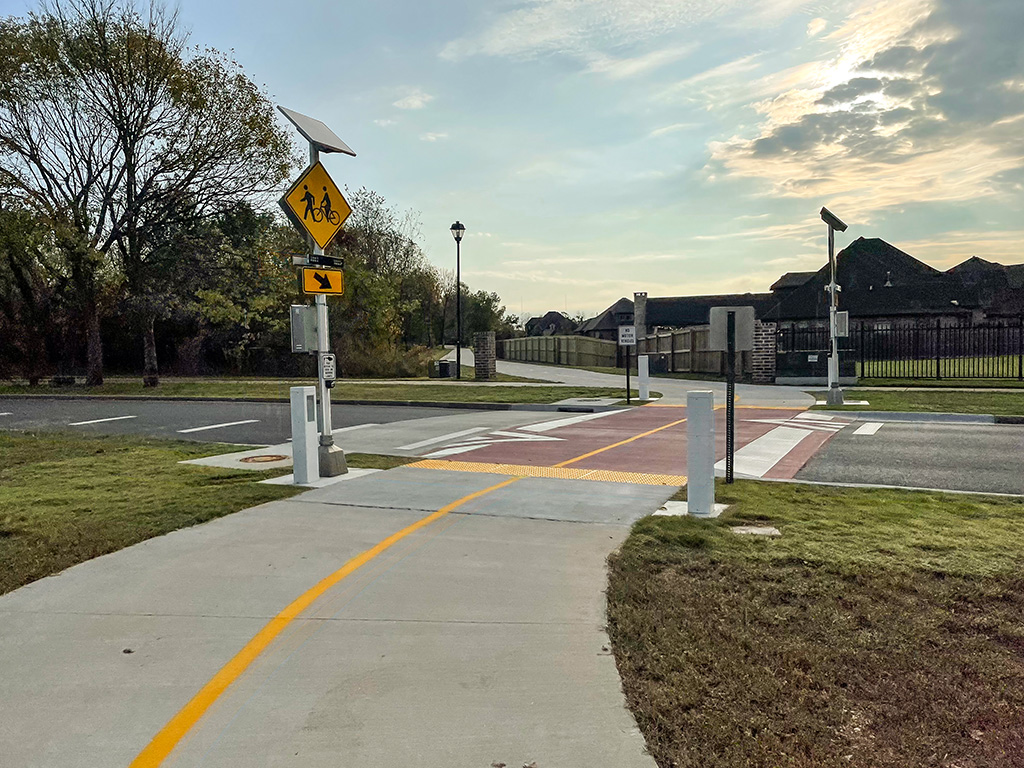
Crossing Salem Road
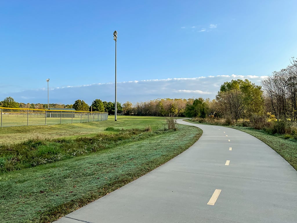
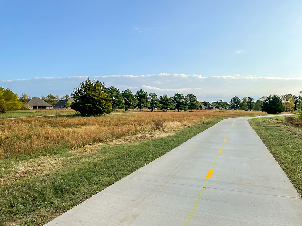
Behind the softball complex
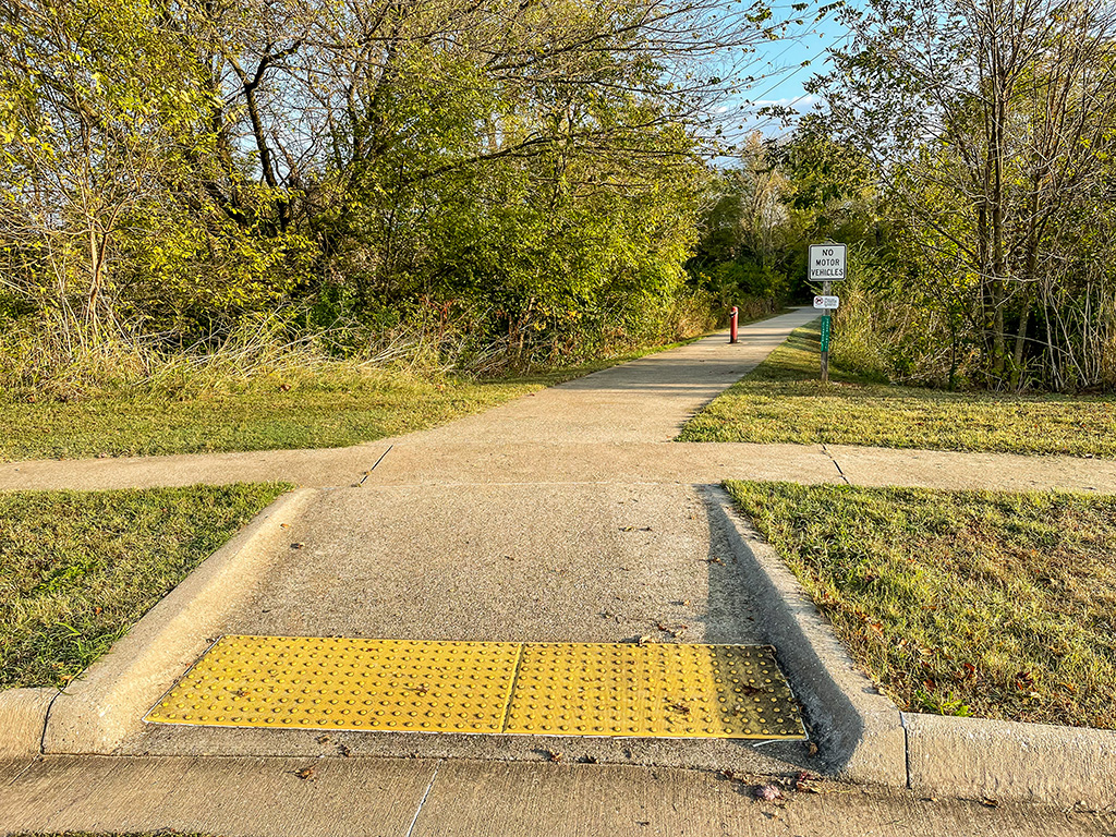
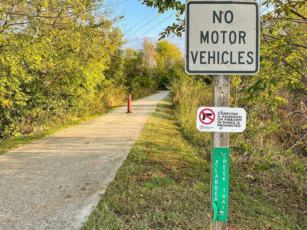
Extension begins
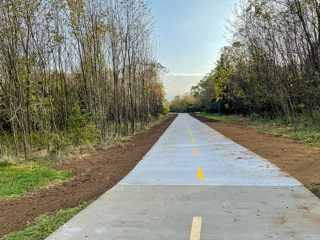
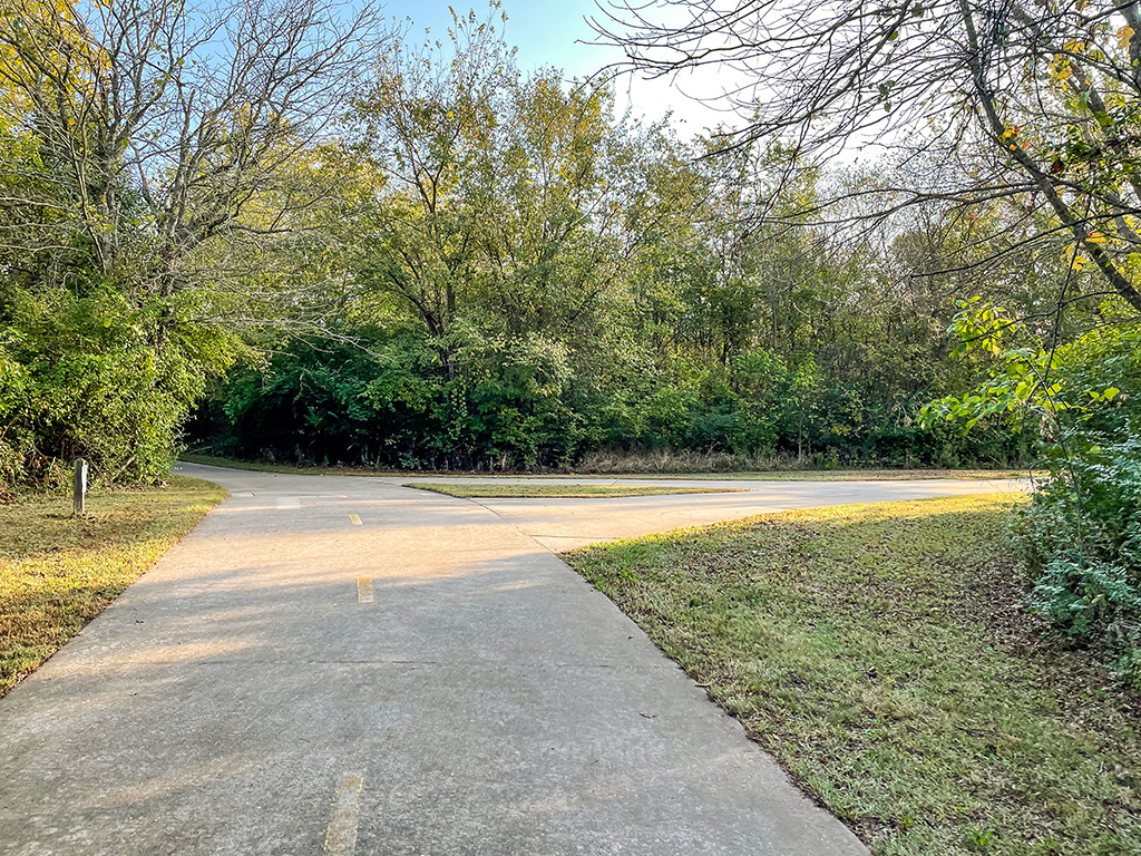
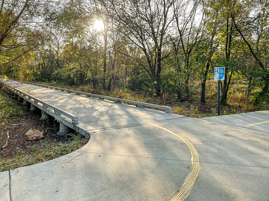
Raven Lane neighborhood connection
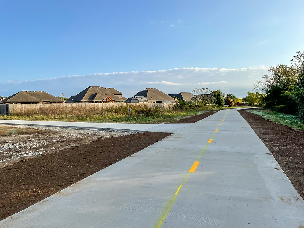
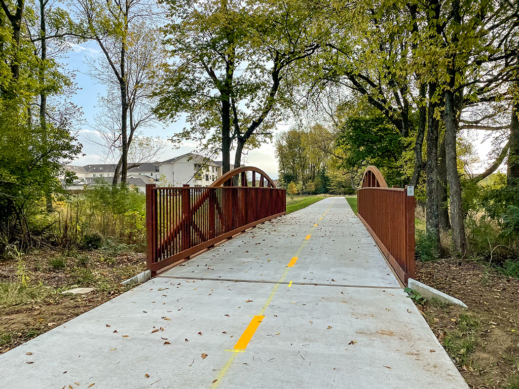
Underwood Park
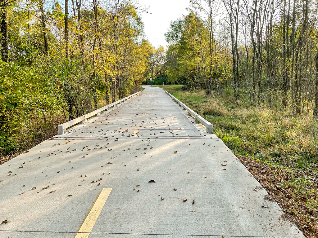
Vanike Drive
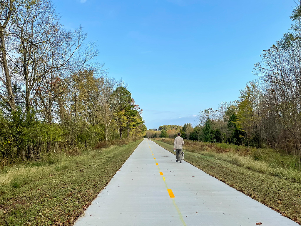
Deane Solomon Road
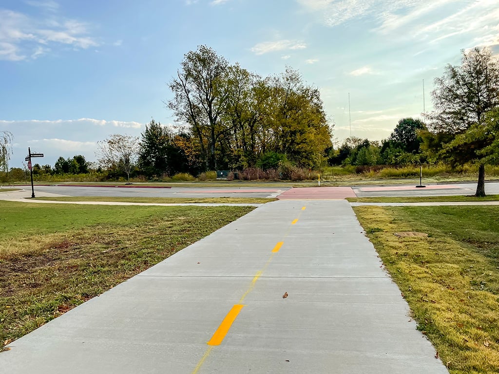
Truckers Drive


